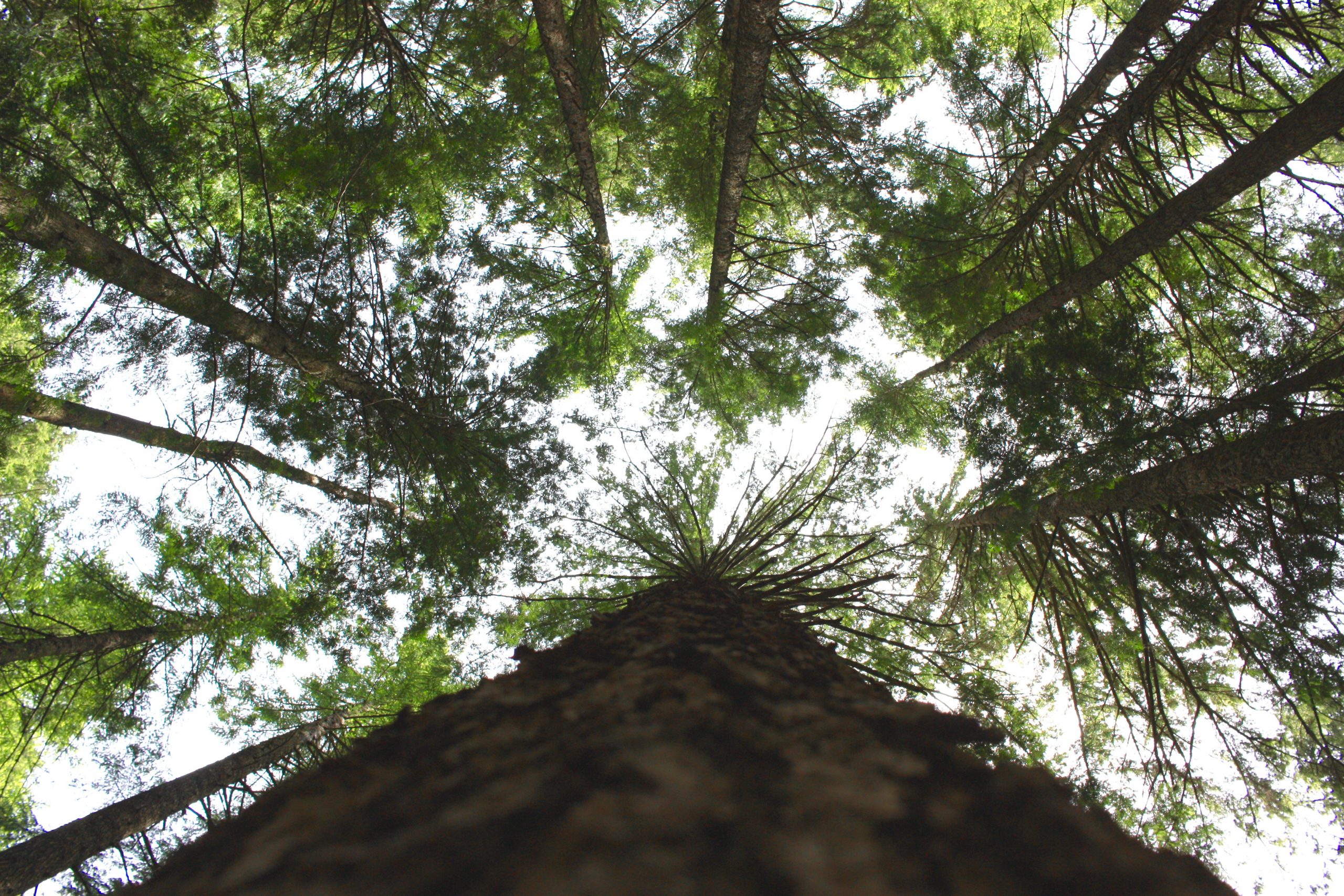
Mosquito Creek & Norgate are some of the best areas for local trails and hiking paths. Ranging from easy to intermediate skill level, the following trails are great for an evening stroll or a trek through overgrown forest. Check out the top 3 trails of Mosquito Creek & Norgate for your next natural expedition.
Mosquito Creek trail
You can’t visit Mosquito Creek without visiting Mosquito Creek! Mosquito Creek is an ecological pillar of the area. It runs from the slopes of Grouse Mountain and Mt. Fromme, through North Vancouver, until it empties into the Burrard Inlet. The park borders the creek between Larson Road and the Trans-Canada Highway, although the trail continues beyond that to the Baden Powell trail at the base of Grouse Mountain. This gives you the flexibility to tailor the length and difficulty of the hike to your abilities. Since the trail also winds through different parts of North Vancouver, there are plenty of options for a quick rest and/or bathroom break along the way. We recommend trying Le Petit Cafe [https://www.lepetitcafe.ca/] in Upper Lonsdale for some well earned pastries and sandwiches.
Fun Fact: The Mosquito Creek trail is part of Canada’s Great Trail [link to https://thegreattrail.ca/], a 18,078 km continuous network of greenways and trails connecting the country.
Trail Length: 1.1 km (Mosquito Creek Park) or 4 km (Full Trail)
Difficulty: Easy
Dog-Friendly?: Yes, Leashed
Spirit Trail
This Spirit Trail is one of the most famous trails in North Vancouver. With an impressive run that stretches from Horseshoe Bay to Deep Cove, this trail is over 35km in length and travels through many different parks and North Shore municipalities. A significant portion of the Spirit Trail runs along the southern edge of Norgate and through the Welch Strip, a local greenspace next to the shops and restaurants on Welch Street. This area is a particularly great spot for having a picnic outside when the weather is nice.
For a longer walk, try the loop from Norgate to Lonsdale Quay. This 11.1km loop (5.5km one way) is almost entirely along the waterfront, allowing you to enjoy beautiful views of Vancouver as you make your way to the Quay.
Trail Length: 1.5 km (Norgate Section) or 35 km (Full Trail)
Difficulty: Easy
Dog-Friendly?: Yes, Leashed. There is also an Off-Leash area on the trail in Harbourside.
Full Trail Map: https://www.cnv.org/parks-recreation-and-culture/parks-and-greenways/greenways/north-shore-spirit-trail
Lonsdale Quay Trail Map: https://www.alltrails.com/explore/trail/canada/british-columbia/north-vancouver-lonsdale-quay-via-spirit-trail?mobileMap=false&ref=sidebar-view-full-map
Ravine Greenway/Heywood Park Trail
Heywood Park is a 16 hectare park that straddles McKay Creek from the Trans-Canada Highway to Marine Drive. This biodiverse greenspace is home to many different flora and fauna. In fact, the creek itself is important for salmon bearing and is home to a local hatchery. In this urban sanctuary, visitors enjoy walking the trails, birdwatching, picnicking, and dog walking. The trails closely follow the creek and immerse passersby in the serene natural habitat surrounding them. The southern part of the trail opens up onto Marine Drive, making this trail easily accessible by transit or car. Hikers can also continue further South to Lower McKay Park and join the Spirit Trail close to the Northshore Automall. Trails in Heywood park also form a complete loop, so you can get your kilometres in without having to travel too far from home!
Trail Length: 1.8 km (Heywood Loop) or 2.7 km (Loop + Lower McKay)
Difficulty: Easy
Dog Friendly?: Yes, Leashed
Heywood Park Trail Map: https://www.walkbc.ca/trail/heywood-park-trail


